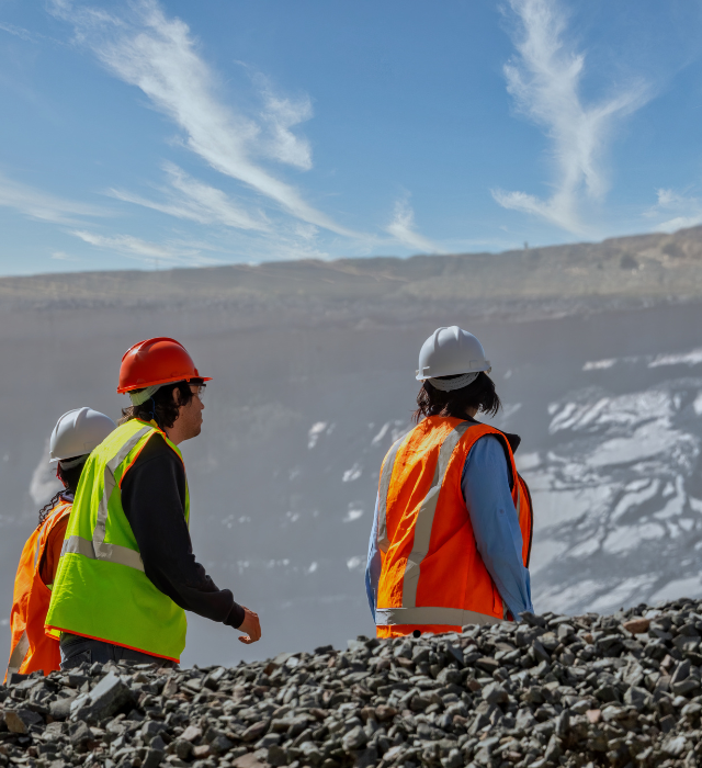
Field Mapping
Our field mapping services provide comprehensive geological data collection and analysis, essential for successful exploration and mining projects. Using advanced techniques and tools, our experienced team conducts detailed surveys to identify rock formations, mineral deposits, structural features, and other critical geological information. By translating this data into accurate, high-quality maps, we help our clients make informed decisions, optimize resource management, and reduce exploration risks. Our field mapping services are designed to support the entire lifecycle of a mining project, from initial exploration to production.
Tazicron
FIELD MAPPING SERVICES
Geological Mapping
With our Geological Mapping service delivers accurate and detailed analysis of rock formations, mineral deposits, and geological structures to support efficient resource exploration and mining operations.............................
Topographical Mapping
Our Topographical mapping provides accurate mapping of land features, including elevation, contours, and physical structures, to support efficient mine planning and operations.
Geospatial Data Collection
Our Geospatial Data Collection service uses advanced technologies like GPS, drones, and remote sensing to deliver precise, real-time mapping solutions for efficient planning and decision-making in mining projects.
Surveying
Our surveying services offer precise, detailed on-site data collection to create accurate maps for mining projects. Using advanced surveying techniques and equipment, we capture critical spatial information, including coordinates, elevations, and dimensions of key features. This data helps optimize mine design, enhance operational efficiency, and ensure safety and regulatory compliance throughout the entire mining process.